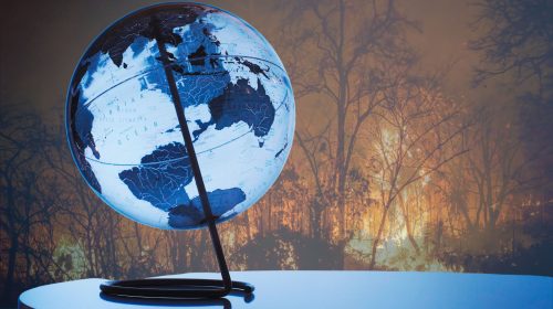
How Wildfires Are Transforming America’s Landscape As I write this, fires burn in the north-eastern United States. More than 500 wildfires have broken out in New Jersey alone this autumn, and in recent weeks there have been fires in Connecticut and Pennsylvania, too. A 5,000-acre fire has been burning for over a week on the New York border. And that’s just one region, in one country. I could mention Portugal or Australia, California or Greece. This isn’t normal. Wildfires are getting worse. Why? Because of climate change. Thanks to global…
Read MoreTuesday, April 22, 2025
Recent posts
- Why Driving in New Jersey Is Becoming Almost as Expensive as Parking in Manhattan
- No More Fine Print! Inside Florida's Push for Honest Pet Insurance
- How this Healthcare Giant’s Challenges Could Change Insurance as We Know It
- California Homeowners Take on Big Insurers Over Alleged Conspiracy
- Uber’s Multifaceted Push for New York Insurance Reform


